About Bivaq
49.18°N · 20.10°E
Why Bivaq exists
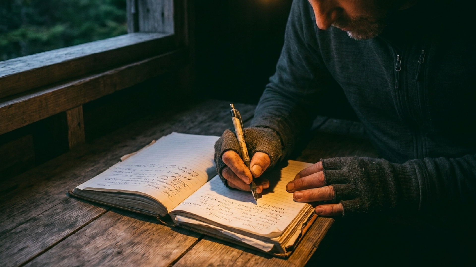
It started with too many tabs open.
I sleep outside a lot. And before every trip, the same routine — a dozen websites, old forum threads, scattered maps, just to answer one question: where can I sleep out there? The information existed. It was just never in one place, and half of it was out of date. So I built the map I wish I'd had.
Bivaq is the map of places you can sleep when there's no booking. Mountain huts, unguarded shelters, bivouac boxes, lean-tos, wild spots — across Europe, in one place.
The problem
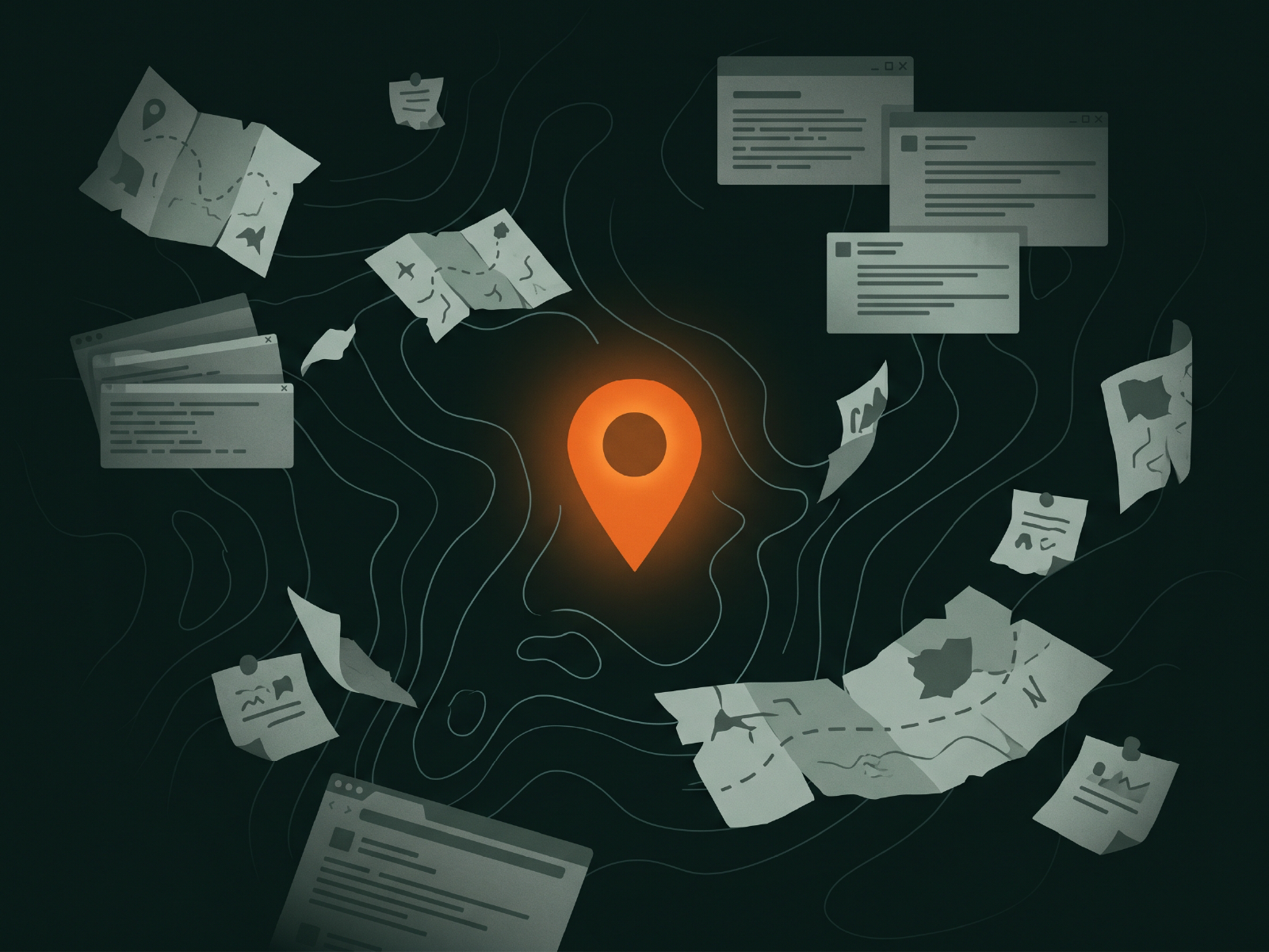
The information exists. It's just everywhere.
Shelters are scattered across national portals, club databases, forums and word of mouth. Some pages haven't been touched in years. You don't find out a shelter is gone until you're standing where it used to be.
How it stays true
Verified by people who slept there.
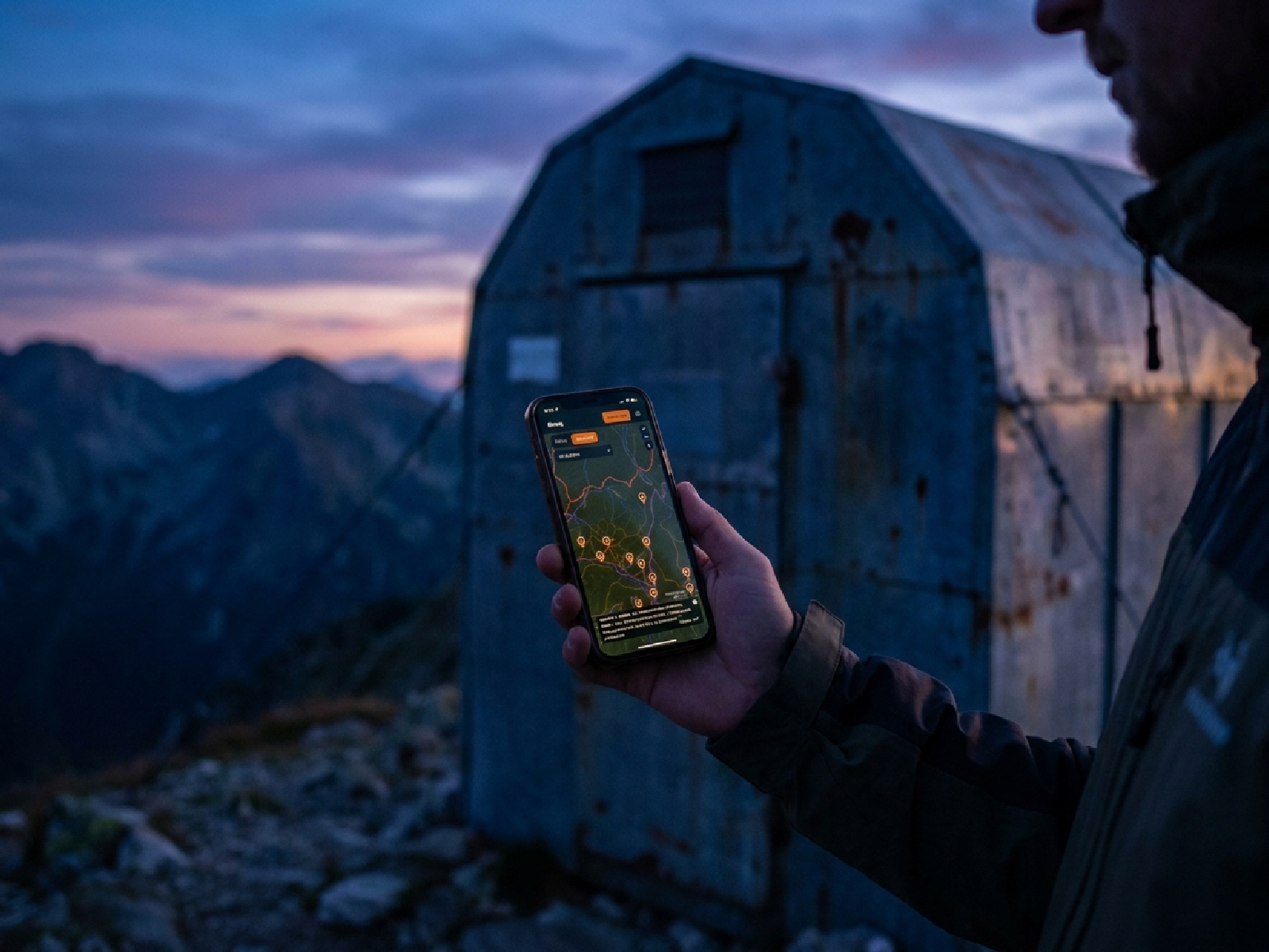
A map like this is only as good as how current it is. That's why Bivaq is built around the people who use it — you add places, photos and the latest condition. The bigger the community, the more reliable the map. Nobody knows a shelter better than the last person who spent the night.
What we stand for
Free to explore.
The map is open to everyone.
For practitioners.
Built for people who actually go, not for brochures.
Honest about reality.
If the spring dries up in summer, we say so.
Respect the place.
Pack out your trash, leave the wood, leave it better.
Who's behind it
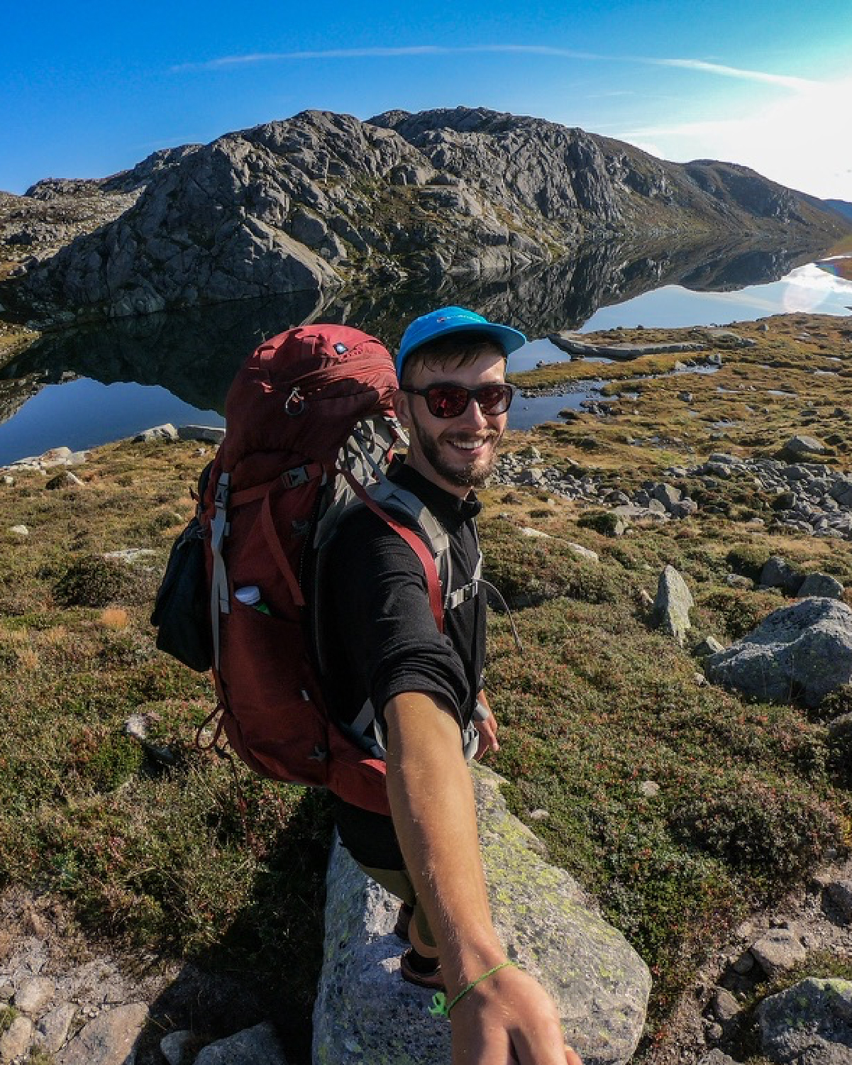
One person, a lot of nights out.
Bivaq is a solo project — built from real trips, not a boardroom. No big team, no investors telling it what to be. Just someone who got tired of not knowing where to sleep, and decided to fix it.
How it stays alive
Bivaq+ keeps this project running. No ads, no investor money. The free map stays free — Bivaq+ pays for the servers and the time. That's the whole model.
Before you go
The mountains don't forgive carelessness. Bivaq helps you plan, but conditions change, shelters close and weather turns. Always verify before you rely on it, and know your limits.
Questions
Good to know.
Yes. The map, search, precise coordinates, water locations, trip planning and contributing stay free. Bivaq+ adds offline maps, GPX export and unlimited trips.
Depends where. We map bivouac rules per region — source and date always shown. Slovakia now, more countries coming.
You fix it. Report a condition, a photo or a new spot. Every place shows where its data came from.
Mostly no, and the app tells you so instead of failing silently. Installed, it falls back to a page that says what is unavailable, and a few informational pages stay readable. The map, shelters, trails and trips all need a connection — no tiles or place data are stored on your device. Offline maps are a planned Bivaq+ feature, not a built one.